Code: TTQUIMSA Duration: 11 days

This mountain range - located to the south of La Paz city - is only 50 km. long but certainly one of the most diverse and beautiful areas in the Bolivian Andes. The Southern peaks are covered by snow and large glaciers run down from them while the north is mainly compose by giant granite spires, a real paradise for rock climbers. In the West are the dry valleys looking to the flat highlands and the east slopes face to the Amazonian jungle.
After an initial and needed acclimatization time at Lake Titicaca, we will transport you to Quimsa Cruz where our trekking route will take you through all the ecological steps of the Andes starting in the rain forest and ending in the mountain glaciers.
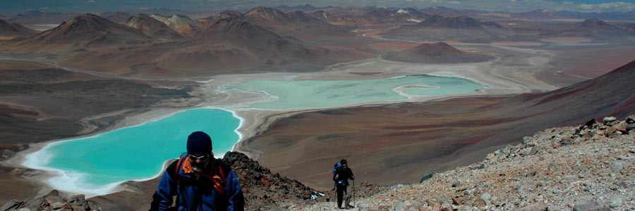
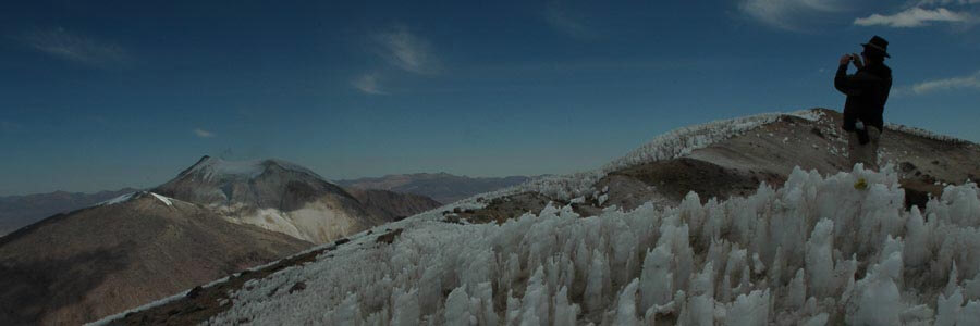
With no doubt, Quimsa Cruz provides a microcosm of the Andes mountains; summits cloaked in perpetual snows, long sweeping glaciers, enormous granite peaks, multi colored lakes, mountain valleys boasting deep gorges and high altitude woodlands, old tin mines, an immense variety of birds and plants and the mystical atmosphere of the Andes, all of which combines to make this region practically unforgettable.
Short Itinerary
Day 1. Arrival to La Paz. Transfer IN. Hotel.
Day 2. Hike on Peñas Range. Transport to Copacabana. Hotel.
Day 3. Trek to Chincana. Transport to Huatajata. Hotel
Day 4. Transport to Cuchu Mocoya. Camp.
Day 5. Trek to Mina Nevada. Camp
Day 6. Trek to Aguas Calientes. Camp.
Day 7. Trek to Alisuni. Camp.
Day 8. Trek to Vaqueria. Camp
Day 9. Trek to Cuchu Mocoya. Camp
Day 10. Transport to La Paz. Hotel.
Day 11. Departure. Transfer to Airport.
Highlights
- Acclimatization sightseeing La Paz & Lake Titicaca.
- Hike to the scenic view point of Peñas range.
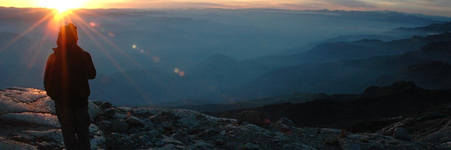
- Splendid views of mountain landscape, the highlands and Lake Titicaca.
- Treking through extremely diverse landscape that links the rain forest and the mountains.
- Visiting tin mines & hot springs.
- 7 days of trekking (67km total distance).
Services Included
- All transfers IN/OUT to airports.
- Meals mentioned in the itinerary.
- Full land transportation during the trip.
- Hotel accommodation as mentioned in the itinerary.
- Common camping equipment: 3 season tents, dinning and kitchen tents & tableware.
- Bilingual guide during the trip.
- Luggage transportation with porters and/or animals (15 kg/33 lb per person max weight).
- Cook when camping.
- National Park entrance fees.
Services Not Included
- International & local flight tickets & fees.
- Meals while in La Paz.
- Personal camping equipment: sleeping bag, mattress, headlamps, and clothing.
- Insurance of any kind.
- Any expense due to a rescue operation (rescuers fee, transportation, or medical cost).
Day to day details
Arriving at the airport in La Paz your breath will be taken away. Not just because of the altitude; the airport is the highest international airport in the world; but also because of the views over the mountains. The crisp clear sky of the highlands give the impression you could touch them. In a normal winter day it is possible to see over a distance of 200Km (120mi). The cold and dry air feels good after so many hours of treated pressurized cabin air.
The drive to the city of La Paz is not less impressive. We will stop at “La Ceja” (literally the eyebrow in Spanish; but also meaning the edge) and have a view on the amazing city with buildings and houses hanging from the steep slopes and filling the whole valley that is surrounded by huge glaciated mountains.
Then we will descend 500m (1640ft) down to our hotel in downtown. Do not get stressed much about the altitude; our program has been designed to get you gradually acclimatized. At the beginning we strongly suggest you to take it very easy, drink plenty of water and eat lightly (get into out Acclimatization page for more information).
You will have the rest of the day free. At early evening we will have a briefing meeting.
Overnight: Hotel Nayra
El Alto: 4,100m (13,450ft)
La Paz: 3,650m (11,972ft)
Driving: 30Min (11km)
None
After breakfast we will take our transport and head north towards Lake Titicaca. Half of the way we will do our first hike in this small rocky range facing Cordillera Real. After the hike we will board our vehicle to get to the shores of the lake where we will stay in one of the best hotels in the area.
Traveling through this land it is easy to understand how important the shores of Lake Titicaca have been in the development of Andean cultures. Surrounded by desert like hills and snowcapped mountains, the lake offered, and still offers, rich lands and a mild climate. On the way to Copacabana, we will be culturally transferred to the past as we go by Aymara villages where Indians have been keeping their lifestyle for centuries.
Overnight: Hotel Rosario del lago
Trailhead 4,011m (13,156ft)
Peñas 4,333m (14,212ft)
Lake Titicaca 3,810m (12,497ft)
Driving: 4-5Hrs (185km)
Walking: 3-4Hrs (4km)
B,L
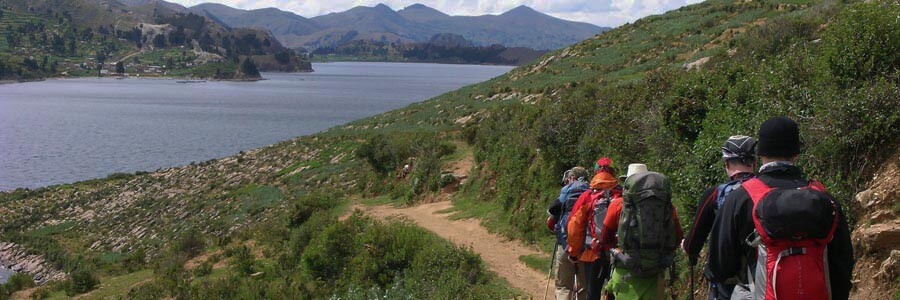
An early start to make a short but pleasant drive along of the shores of Copacabana peninsula towards the village of Yampupata, there we will board the motor boat that will take us to the Island of the Sun. Today we will trek the whole length of the island admiring the Inca terraces, many of which are still used, passing through villages and walking along sandy beaches. Our objective is to reach the north-west end of the island where we can visit a sacred rock, which was worshipped as the birthplace of the first Incas: MancoKapac and Mama Okllo, son and daughter of Viracocha. We will also have time to visit the ruins of Chincana (the labyrinth). After lunch we will take our motor boat back to mainland and then our vehicle towards another Indian Village at the lake shores: Huatajata. The mountains will “grow” in front of us dominating the landscape and the glaciers will get “tanned” by the late afternoon light as we approach to our hotel.
Overnight: Hotel Inca Utama
Island of the sun 4,065m (13,333ft)
Chincana 3,830m (12,529ft)
Huatajata 3,810m (12,497ft)
Walking: 3-4Hrs (11km)
Motor boat: 2-3Hrs (13km)
Driving: 4-5Hrs (100km)
B,L,D
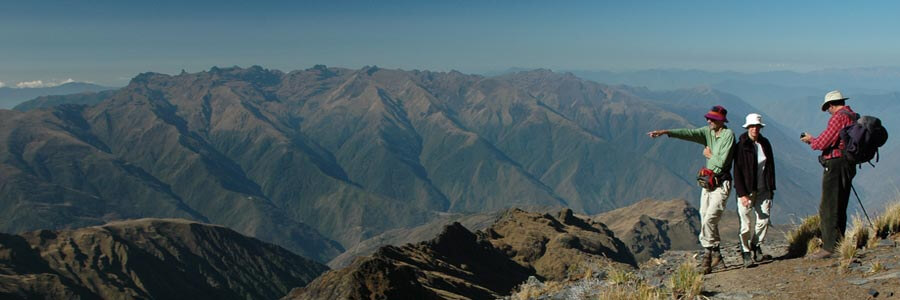
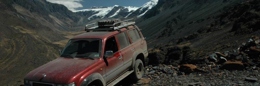
It will take most of the day to drive through the highlands and later along of the mountain range of Quimsa Cruz to arrive to Cuchu Mocoya mining settlement. Although 150km shorter, the direct road following La Paz river would take much longer due to the poor road conditions, and that is why we prefer to take the longer route on the highlands. On the way we will enjoy great views of the highlands and mountain landscape.
Overnight: Camping
Mountain pass: 4,900m (16,072ft)
Cuchu Mocoya: 4,271m (14,009ft)
Driving: 7-8Hrs (350km)
B,L,D
Following the valley upstream we will cross a varied yet twisted trail through grassy land surrounded by steep granite peaks and boulders; on the way we will pass near the shores of Laguna Blanca. Llamas grazing will be part of the landscape until we get high enough where we pass through a narrow cleft and climb on difficult towards the mountain pass. At the pass we will meet a rough 4WD mining track that joins Viloco with the hamlet of Mina Nevada with a few houses and an old administration building with people. We will camp at the football pitch.
Overnight: Camping
Mountain pass: 5058m (16,590ft)
Mina Nevada 4,717m (15,471ft)
Walking 5-6Hrs (10km)
B,L,D
An easier second day ensued as the valley was descended so relinquishing the height gained the previous day. Initially the path followed the line of the mining track, contouring round the hillside. A balcony walk followed the south side of the valley through four hanging valleys passing Laguna Pakkota and a prominent waterfall to cross the river close to the junction of three valleys and Cerro Tunari. Here the route and Rio Calacha Jahuira valley descends to the north.
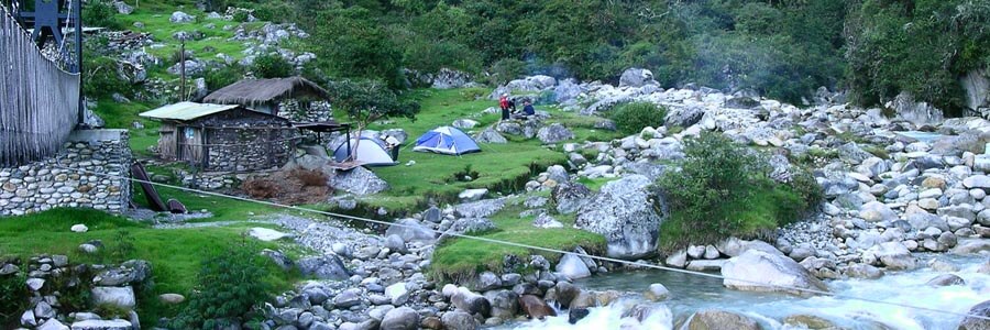
Crossing the river we passed through an increasingly vegetated area of large boulders to arrive at a small village on the opposite side of the valley to a hot water spring. The flow from the spring passed through a bathing pool to a washing area. To reach the springs from the village involves a loop upstream and crossing four interesting log bridges across streams. There we will have lunch to later drop down to a meadow in between granite boulders and small trees. Close by there is a natural hot spring, an ideal spot for the night’s camp.
Overnight: Camping
Aguas Calientes: 3,300m (10,824ft)
Walking: 4-5Hrs (11km)
B,L,D
A rising traverse from the pool head us to an obvious shoulder on the other side of the valley where the village of Choquetanga Chico rests, locals from this settlement always report wildlife such us bears or pumas being spotted once in a while. A few cattle grazed the slopes, soon after midday a gradual descent lead us to the river from where we will ascend following an ancient trail through a thick bamboo forest. The dark tunnel of vegetation ends once we get to the ridge and we start traversing a grassy land towards our campsite located near an old hacienda with a prominent tall tree.
Overnight: Camping
River: 3,237m (10,617ft)
Alisuni: 3,516m (11,532ft)
Walking: 5-6Hrs (11km)
B,L,D
We enter the region of the Granite Mountains. The walls are so steep that it is difficult to imagine that there is a path across. But there it is, a wonder of the pre Inca engineering a magnificent trail traversing steep slopes towards a granite cirque enclosed by huge weatherworn granite walls. There is not a more paradisiacal place to have lunch; at the only beach of a lake surrounded by rocky spires. Tonight we will camp between huge boulders in a place called Vaqueria near the granite spires of “Penis pass”. Depending on the season we may be able to catch a few delicious trout for supper.
Overnight: Camping
Vaqueria: 4,316m (14,156ft)
Walking: 6-7Hrs (11km)
B,L,D
Today is the most challenging of the whole trek since we have to cross the highest mountain pass of the trek; the path quite gentle at the beginning, gets very steep at the last section leading to the pass. There are actually two passes that will get us back to the western side of the range. The trail goes across the Zone of Granite Mountains, an area that climbers have nicknamed ‘The Yosemite of South America’. On the other side of the second pass, the descent towards Cuchu Mocoya mine where we will set our campsite. It is a very steep descent, so our knees will feel it.
Overnight: Camping
Penis pass: 4,910m (16,105ft)
Cuchu Mocoya: 4,271m (14,009ft)
Walking: 6-7Hrs (9km)
B,L,D
We drive back to La Paz following a different route though the valley of Luribay; thanks to its warm microclimate people cultivate grapes, peaches and other fruits in this area. After s endless drop of almost 1km down to Luribay we will ascend even more to get to the pass that leads to the highlands and later to La Paz.
Overnight: Hotel Nayra
Luribay: 2,598m (8,521ft)
La Cumbre 4,780m (15,678ft)
La Paz 3,650m (11,972ft)
Driving: 8-9Hrs (212km)
B,L
Transfer to airport.
Overnight: None
El Alto 4,100m (13,450ft)
Driving: 30Min (11km)
None

