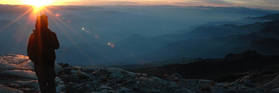
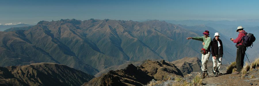
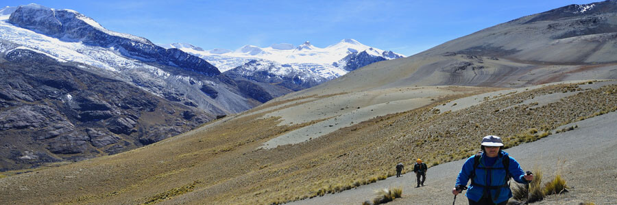
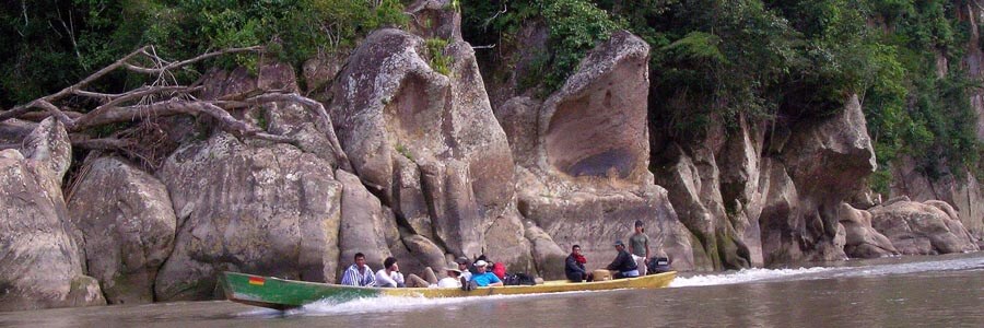
Four main hydrological basins are originated in The glaciers of the Andes and cover most of the South American Continent.
The Highland enclosed river basin
Surrounded by the major two mountain ranges in Bolivia, the western Volcanic range and the eastern mountain range, it is located the “Bolivian Altiplano”, made up of valleys, river beds, lakes and plains separated by small ranges. The altitudes are between 3600-4800 m (11808-15744ft), The actual lower point is at 3650m (11972ft) on the Uyuni Salt Flats.
Located at the west side of Bolivia, the Enclosed river basin covers more than 150.000km2 (55.500mi2), almost 14% of the total Bolivian territory, and collects waters from the glaciers on the west side of the Royal Range and drains through Lakes and Salt Flats that are on the lowest part of the highlands.
The main lakes and rivers of the Highland river basin are the following:
- Titicaca Lake. The main water mass in the highlands covers an extension of 8030km2 (3131.7mi2) It is 200km (120mi) long, and 60km (37mi) wide. Its volume is of 9 hundred billion of m3. It’s deepest point is 275m (902ft), with an average deep of 135m (442 ft).
- Desaguadero. It is the main river in the highlands with approximately 383km (237mi) long. It drains into Uru uru, and the Popoo lakes. Its main tributary is the Mauri river.
- Coipasa. This is the second largest Salt lake in the Bolivian highlands. Several rivers end at the salt lake being its main tributaries the Lauca, and the Sabaya rivers. There is a salty water lake inside the Coipasa Salt Flats.
- Uyuni. The Uyuni (or Tunupa) Salt Flats, covering an extension of almost 11.000km2 (4290mi2), is the largest Salt mass in the world. Its main tributary is the Rio Grande de Lipez.
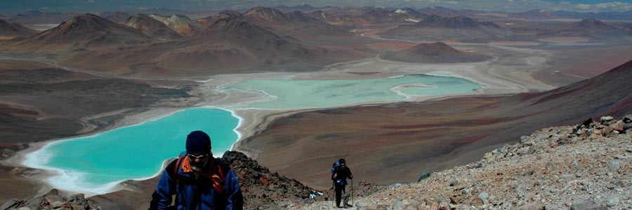
- Besides the above mentioned, there are several other minor lakes in the highlands, like: the Popoo and Uru Uru lakes in Oruro department, or the multicolored lakes in the southern deserts of “Sur Lipez” in Potosi department (Laguna Colorada, Laguna Verde, Laguna celeste, Laguna Hedionda, Laguna Cañapa, etc).
The Amazon basin
East of the snow-capped peaks of the Mountain range, where the mountains gradually became smaller creating a buttress and eventually flatten into the Amazon basin. This river basin is the most important in the South American continent, covering almost 8.000.000km2 (3.120.000 mi2) of extension, 44% of the total South American territory, including the countries of Bolivia, Brazil, Colombia, Ecuador, Guyana, Peru, Surinam, and Venezuela. In Bolivian territory, this river basin covers 722.000km2 (281.580mi2), 66% of Bolivian territory.
All its tributaries collect more than the 60% of the waters molten form the Andes, its farthest origins are considered Marañon river in Peru and Rio Grande o Guapay in Bolivia but hundreds of rivers from Venezuela, Colombia, Ecuador, Peru, Bolivia and Brazil make the Amazon the more extended fluvial basin in the world.
The tropical upper Amazon River basin covers most of the North, Central and Eastern part of Bolivian territory. All rivers in the Amazon basin in Bolivian territory (with the exception of the Acre river) are tributaries of the Madera river, which is - at its time - one of the main tributaries of the Amazon river that will eventually flow into the Atlantic Ocean.
The highest point of this river basin is at 6439m (21119ft), at the top of Illimani mountain, and the lowest at 90m (295ft) at Manoa town.
The main rivers of the Amazon river basin in Bolivian territory are the following:
- Rio Grande o Guapay 1123km (702mi) long in Bolivia joins the tienes and makes Beni River in Bolivia • Itenez (or Guapore) river forms a large section of the north-east border between Bolivia and Brazil. The total length of the Itenez is 850km (527mi), covering an area of 208.000km2 (81.120mi2), almost 19% of the total Bolivian territory.
- Mamore is one of the largest rivers in Bolivian territory with a total length of 1054km (653mi). After joining the Beni River changes its name to Madera, which is one of the main tributaries of the Amazon River. Those two rivers (the Itenes and the Mamore), collect most of the water of the Bolivian Savannah’s, and thick jungles of the Santa Cruz, Beni and Cochabamba departments.
- Beni river of 1010km (626mi) length, collects most of the water that flows down from the mountain ranges (Apolobamba range, Cordillera Real and Quimsa Cruz range). Most of the rafting or white water kayaking trips that we organize are in tributaries of the Beni river, including: the Coroico river (two days descent grade III), and the Tuichi river (11 days expedition with 6 days descent grade III and IV).
- The Abuna, and the Acre rivers form the north border between Bolivia and Brazil, they have a length of 375km (234mi), and 125km (78mi) respectively.
The “La Plata Basin”
Because of topographic accidents, the rivers of the south and southeast corners of Bolivia flow south to join the Paraguay, and Pilcomayo rivers, both are tributaries of the “La Plata” river, which eventually flows into the Atlantic Ocean. The La plata river basin is the second in importance in the South American continent, covering 3.100.000km2 (1.209.000mi2) of extension (18% of the total South American territory), including the countries of Bolivia, Brazil, Paraguay, and Uruguay.
Just in Bolivia, it covers 225.000km2 (87.750mi2), 21% of Bolivian territory.
The rivers on the Southeast side of Bolivia are all tributaries of the Paraguay river, and the rivers of the south are all tributaries of the Pilcomayo river. Part of the borders between Bolivia, Brazil, Paraguay, and Argentina, are sections of those two rivers.
The highest point of this river basin is at 5200m (17056ft) point, and the lowest at 265m (869ft) at Esmeralda town.
The main rivers of the “La Plata” river basin in Bolivian territory are the following:
- Paraguay. Some small tributaries of the Paraguay river like: Rio negro, Curiche, Rio Verde, or Tuyuyu, are in Bolivian territory. Bolivia actually shares a very little section of this river whit Paraguay. There are several lakes that are feed by seasonable rivers, which form independent systems in that area.
- Pilcomayo is the main river of the “La Plata” river basin, with 680km (422mi) length. It is born near the Uyuni Salt Flats and makes one of the most impressive canyons in the Bolivian territory.
Rivers in Chile
Along of the long and narrow Chilean territory, several rivers flow from the mountain range to the Pacific ocean. From north to south here is a list of the main ones:
- The glaciers of the main volcanoes in the Lauca National Park create two main rivers: Lauca River that flows to the southeast into Bolivian territory and the Lluta that flows to the Pacific ocean. Chungara and Cotacotani are the main lakes in this area.
- Waters of the mountains eastern to the Atacama Desert form the Loa river that also flows to the Pacific ocean. • Besides these two main rivers, there are hundreds of small rivers and creeks that carry very little water mains from springs and occasional rains.
- Several salt flats are located in this area like: Surire, Chiguana, Huasco, Coposa, Carcote, Ascotan and Atacama.
- Further south near Copiapo, tens of small lakes are located along of the border with Argentina, the main ones are: Laguna del Negro, and Laguna Verde. Huasco river is also located in this area.
- Northern to Santiago de Chile and flowing towards the Pacific coastline there are several rivers that have been dammed, the main ones are: Elqui, Limari, Quilimari and Ligua. The main water reserve is Paloma.
- Santiago area is washed with waters from the mountains that flow to the Pacific, the main rivers are: Aconcagua, Maipo and Maule. Opposite to the poor rivers in the northern Chile, these rivers carry a lot of water, enough to practice water sports like rafting or white water kayaking. The main water reserve is Rapel. • Southern to Santiago de Chile and flowing towards Concepcion at the Pacific coastline, Bio Bio river is one of the main rivers in Chile.
- From Concepcion to Punta Arenas in the southern extreme of Chilean territory there are innumerable rivers, fiords and hundreds of lakes. It would be endless to mention them all but the main lakes in this area are: Colico,Villarica,Calacuen, Ri;ihua, Ranco, Puyehua, Rupanco, Llanquihue, Yelchu, Amuitui Quimei, General Carrera, Cochrane and O'Higgins.

