Code: TTROYALC Duration: 5 days
Conservative estimations made by archaeologists set the network of trails that existed in the Andes before colonial in about 30,000km (18,633mi). During Inca times, most of the trails – that were built by previous cultures like Tiwanacu and already existed by then -, were organized in a network called Qapak Ñan, same that linked the whole empire or Tawantinsuyu over the central Andes.
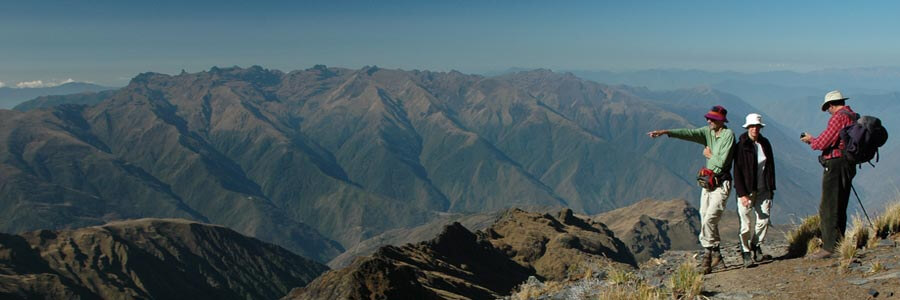
The main “highways” follow a north-South line along of the Pacific coastline from Colombia, across Ecuador, Bolivia and Peru, and all the way south to Argentina and Chile. These main trails link the trading routes that generally follow East-West lines connecting the different ecological environments from the Pacific Ocean through the high lands, the Andean mountain range, the fertile valleys and down into the cloud forest.
This trip is a short version of our full Cordillera Real trek following the most known section from Koatia to Condoriri and Huayna Potosi valleys.
Please note that to take this trip alone, you must already be acclimatized to the highlands. This means that you must have spent at least 3-5 days at the highlands doing light physical activity. For more information about this subject, please refer to the page acclimatization at our website.
Short Itinerary
Day 1. Transport to Koatia. Camp.
Day 2. Trek to Alka Kota lake. Camp.
Day 3. Trek to Juricota lake. Camp.
Day 4. Trek to Chiar Kota lake. Camp.
Day 5. Trek to Botijlaca. Transport to La Paz.
Highlights
- Splendid views of mountain landscape; Janko kota and Condoriri valleys.
- 4 days of trekking (38km total distance).
Services Included
- Meals mentioned in the itinerary.
- Full land transportation during the trip.
- Common camping equipment: 3 season tents, dinning and kitchen tents & tableware.
- Bilingual guide during the trip.
- Luggage transportation with porters and/or animals (15 kg/33 lb per person max weight).
- Cook when camping.
- National Park entrance fees.
Services Not Included
- Transfers IN/OUT to airports.
- International & local flight tickets & fees.
- Meals & accommodation while in La Paz.
- Personal camping equipment: sleeping bag, mattress, headlamps, and clothing.
- Insurance of any kind.
- Any expense due to a rescue operation (rescuers fee, transportation, or medical cost).
Day to day details
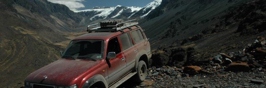
Very early in the morning we leave La Paz heading north towards Lake Titicaca and then into one of the valleys of Cordillera Real. There we will camp in a place called Koatia.
Overnight: Camping
La Paz: 3,650m (11,972ft)
Koatia: 4,439m (14,560ft)
Driving: 2-3Hrs (91km)
L,D
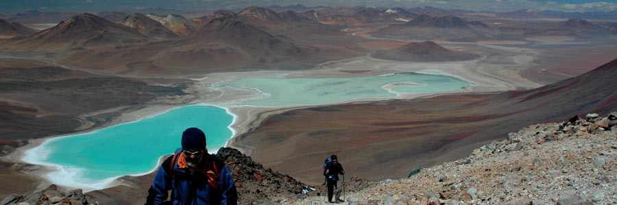
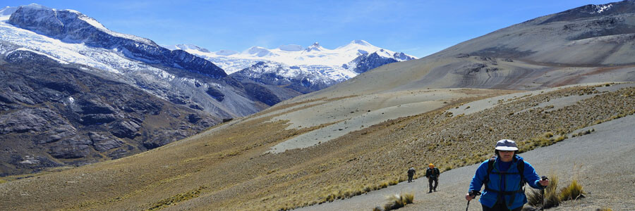
We will start our hike to Jurikota lagoon. The route for the next days is part of the classic “Transcordillera” trek and the trails will mostly be wide and - after so many days walking off-trail - unusually bitten. We start hiking ascending gradually towards the highest point of a ridge to then descent to the next valley and cover a long distance to the campsite at the shores of Alka Quota lagoon (the bi-color lagoon). To the east lies the Condoriri group – a major milestone in our journey.
Overnight: Camping
Koatia: 4,439m (14,560ft)
Pass: 4,750m (15,580ft)
Campsite: 4,525m (14,842ft)
Walking: 6-7Hrs (15km)
B,L,D
A really sustained high altitude day as you weave your way around the western side the Condoriri group.
We will have to cross two passes in quick succession Paso Sistaña and Paso Jurikhota. From the second pass you can get a really good view of Condoriri, arguably Bolivia’s most beautiful mountain in Bolivia, before descending to the camp by the shore of Laguna Jurikhota.
Overnight: Camping
Sistaña Pass: 5,097m (16,718ft)
Valley: 4,718m (15,475ft)
Jurikhota Pass: 4,936m (16,190ft)
Campsite: 4,695m (15,400ft)
Walking: 5-6Hrs (13km)
B,L,D
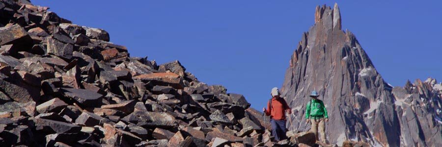
The climb up to today’s pass takes you between the rocky peaks of Cerro Ventanani and Janchallani (both 5,400m/17,712ft). From the col you gain good views of the glaciers and snowfields of Ala Norte (5,532m/18,149ft) and Cabeza (head) de Condor (5,658m/18,530ft).
These two taken together with Ala Sur (5,482m/17,985ft) form the famous view of the Condoriri group – from which it takes its name - best seen once you have descended from the pass to our camp beside ChiarKhota. From here the mountains resemble a condor’s head flanked by outstretched wings.
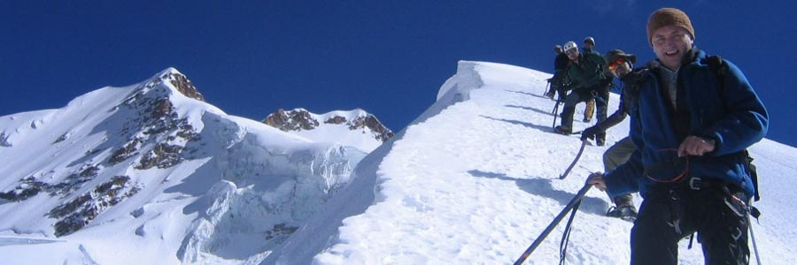
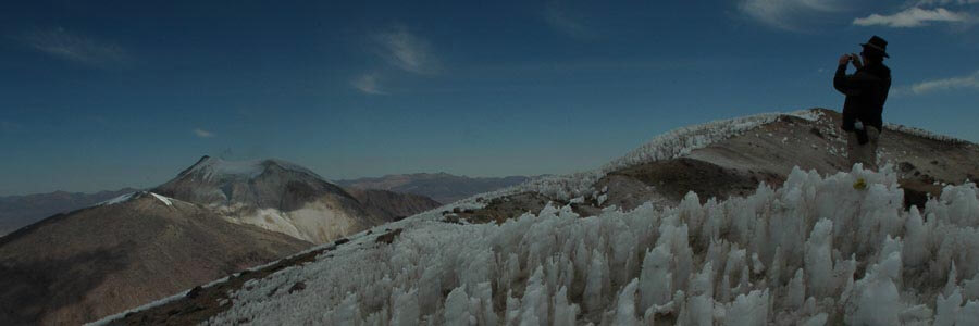
Depending on time and conditions, it may be possible to deviate from the pass at the col and ascend Pico Austria. An easy path zigzags its way up this rocky mountain to its summit, from which the views north encompass most of the mountains you have passed on your journey to date. The path is distinct because it is often used by climbers who are looking to acclimatize before tackling the popular climbing peaks in the Condoriri group.
This evening you will camp by Laguna Chiar Kota and will probably share your campsite with others for the first and only time on this trip, for it is the base camp area for the climbing community.
Overnight: Camping
Pass: 5,140m (16,859ft)
Pico Austria: 5,396m (17,698ft)
Chiar Kota: 4,650m (15,257ft)
Walking: 6-7Hrs (9km)
B,L,D
Early departure after breakfast and we will begin our trek across the two mountain passes into the northern valley of the majestic Huayna Potosi peak. The long descent across boggy fields and puna grass, typical of the Andean valleys will take us to the valley of Zongo. After having hiked above the three line accompanied by puna grass and few bushes, today we will briefly descent to the upper transition zone between the Puna and the Yungas valleys. There the electric company installed hydroelectric plants to produce most of the electricity consumed in the Bolivian highlands. Our vehicle will be waiting to transfer us to “Plataforma Zongo” and then to La Paz.
Overnight: None
1st Mtn. Pass: 5,010m (16,433ft)
2nd Mtn. Pass: 4,918m (16,131ft)
Ancoma: 3,822m (12,536ft)
Plataforma Zongo: 4,747m (15,570 ft)
La Paz: 3,650m (11,972ft)
Walking: 7-8Hrs (17km)
Driving: 2-3Hrs (55 km)
B,L